
Universal Platform Compatibility
The support for different map semantics and multiple export formats enables seamless integration with leading simulation platforms, ensuring flexibility and reducing development overhead across diverse toolchains.


GeoMate’s mapping technology disrupts traditional HD mapping methodologies by leveraging AI to better understand spatial context through multi-sourced, high-resolution geospatial imagery.
Contact Us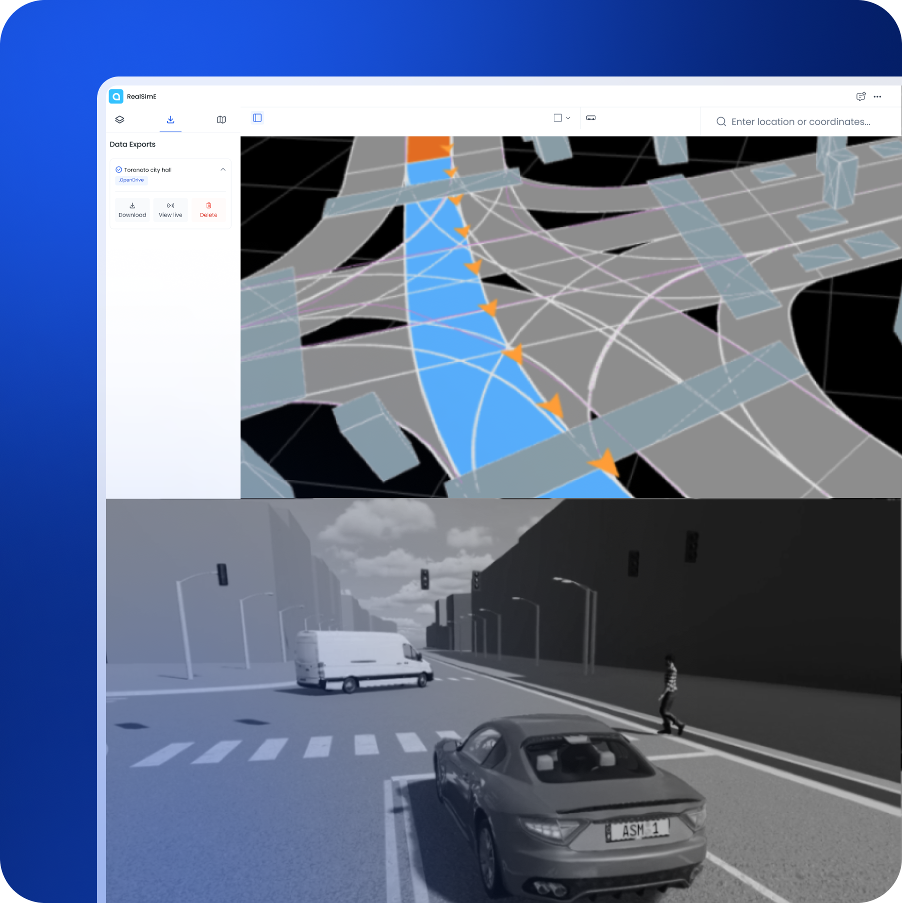
Simulation providers and AD/ADAS developers face critical limitations

Edge Case Gaps
Real-world rare and risky driving scenarios are difficult to model consistently.
%201.png)
Poor Interoperability
Simulation data often lacks compatibility across different platforms.

Limited Realistic Environments
Building lifelike test environments manually is time-consuming and costly.
%201.png)
High Engineering Overhead
Creating and maintaining simulation maps consumes significant resources.
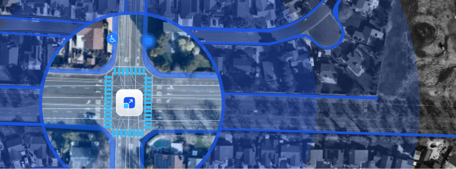
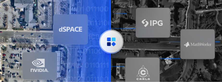

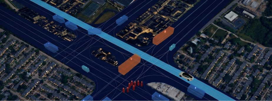
The support for different map semantics and multiple export formats enables seamless integration with leading simulation platforms, ensuring flexibility and reducing development overhead across diverse toolchains.
Learn More

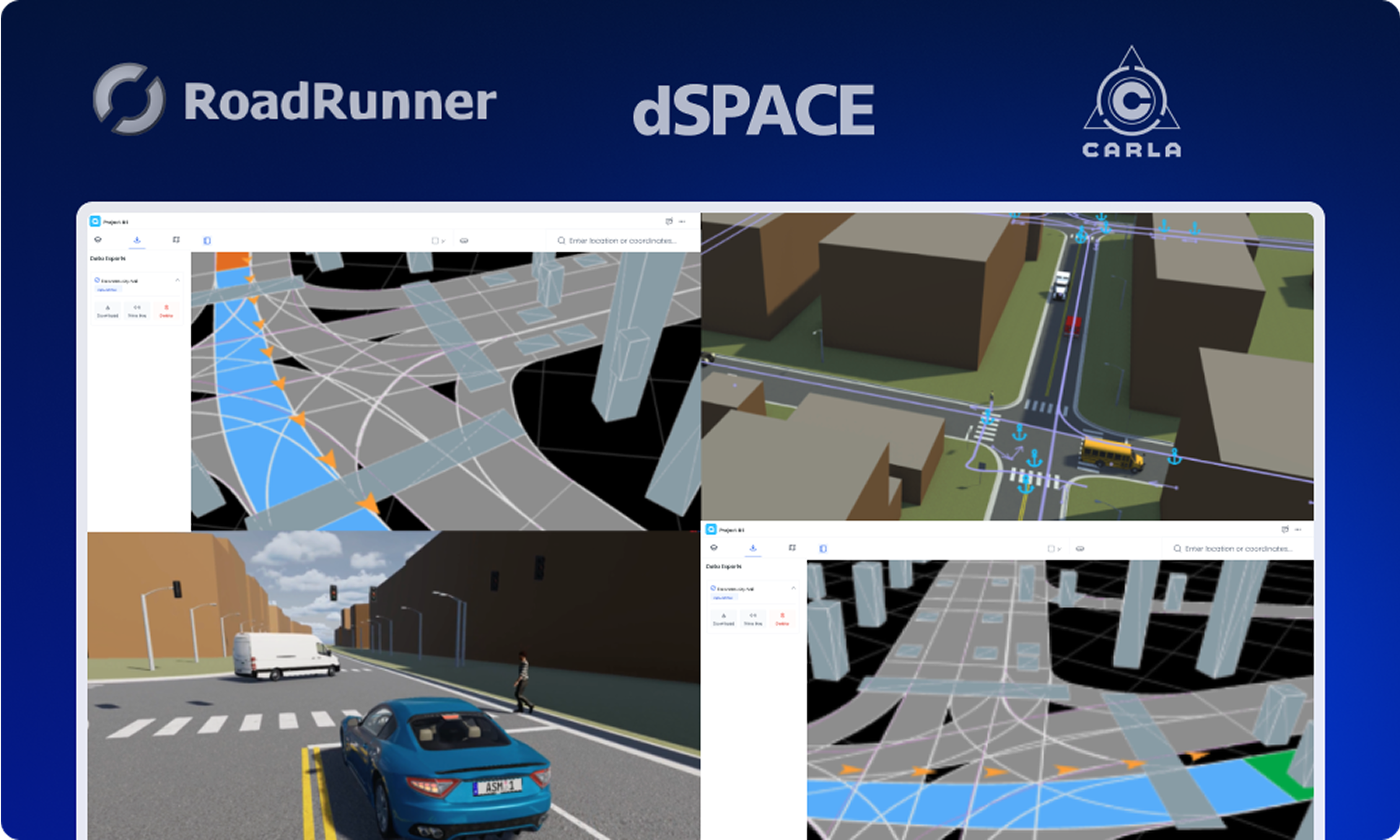


Users can easily download or view detailed map data and customize specific elements for their region of interest using their preferred editing software, providing flexible access to tailored mapping solutions.
Learn More

RealSimE supports seamless integrations with leading simulation platforms including NVIDIA’s Omniverse-based simulation ecosystem, CARLA/Unreal Engine, dSPACE's AURELION, and MathWorks' RoadRunner, ensuring compatibility across the autonomous vehicle development ecosystem.
Learn More






Simulation Providers
Deliver ready-to-use, realistic environments for customers.

OEMs & Tier 1s
Lower reliance on costly road testing by validating virtually.

AI Labs
Train perception and planning systems with diverse environments.


Learn More


