dSPACE is a global leader in automotive simulation and validation solutions, providing critical tools for the development of advanced driver assistance systems (ADAS) and autonomous driving (AD) technologies. With headquarters in Paderborn, Germany, dSPACE serves automotive manufacturers and suppliers worldwide with comprehensive simulation ecosystems including AURELION sensor simulation and Automotive Simulation Models (ASM).
GeoMate specializes in transforming aerial imagery into compact, high-definition maps using AI-driven automation. Our solution provides partners with detailed spatial data quickly, safely, and cost-effectively - without the need for traditional field surveys.
dSPACE has partnered with GeoMate to integrate AI-generated compact HD maps and realistic 3D environment models into dSPACE's simulation platforms, enabling developers to conduct extensive virtual test drives across continuously expanding operational design domains (ODDs).
"The seamless integration of GeoMate's detailed, comprehensive maps into our AURELION and ASM simulation solutions adds tremendous value for our customers and expands their ADAS/AD validation and sensor simulation capabilities."
— Michael Kluge, Product Manager Scenarios at dSPACE


AI-driven map generation
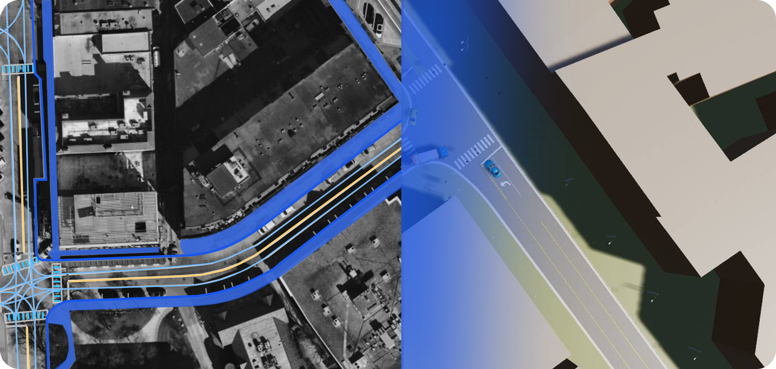
Innovative AI-based pipeline uses high-resolution geospatial imagery as a cost-effective data source to create compact HD maps at a fraction of the cost of traditional LiDAR methods, enabling rapid expansion of simulation environments.

Reality-based 3D modeling
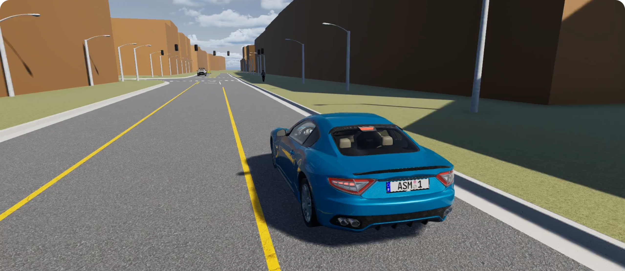
GeoMate's RealSimE technology transforms compact HD maps into highly automated, consistent 3D models of real-world environments that accurately represent underlying road semantics, providing the foundation for effective ADAS/AD validation.

ASAM OpenDRIVE format integration
Seamless integration of GeoMate's OpenDRIVE road network definitions into dSPACE's AURELION sensor simulation and ASM platforms enables customers to work with standardized, industry-compatible formats across their entire development pipeline.

Comprehensive scenario testing
Integration enables developers to quickly carry out extensive virtual test drives across various scenarios based on high-resolution geographical image data and deep-learning technology, accelerating validation cycles.

Learn More