How GeoMate x May Mobility Opened Doors for Autonomous Robo-Taxis in Atlanta

Contact Us
Headquarters
Ann Arbor, Michigan, U.S
Founded
2017
Focus
Delivered 30+ km of AI-generated compact HD maps with detailed lanes, crosswalks, and vertical features to support safe, scalable robo-taxi testing in Atlanta.
Overview

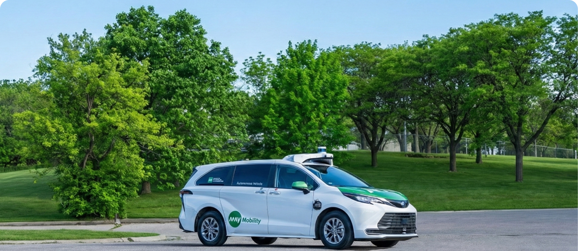
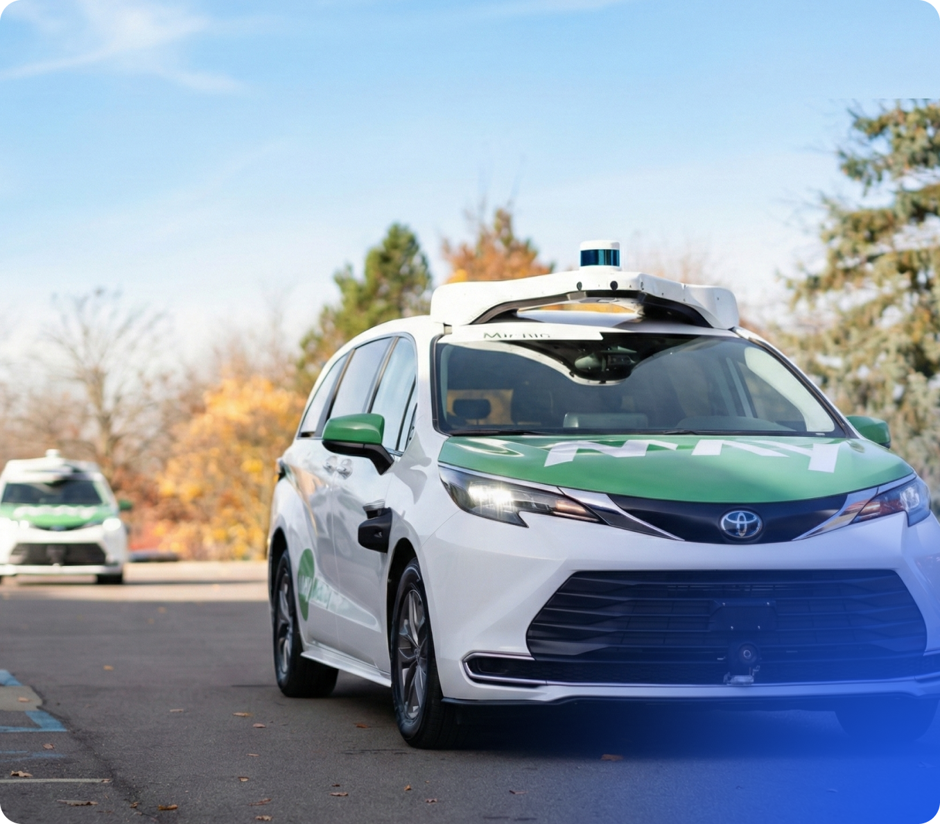
May Mobility is an innovative technology company, developing and operating autonomous vehicle and robotaxi services around the globe, most recently expanding into Southeast Asia. Founded in 2017, the company is headquartered in Ann Arbor, Michigan.

GeoMate specializes in transforming aerial imagery into compact, high-definition maps using AI-driven automation. Our solution provides partners with detailed spatial data quickly, safely, and cost-effectively - without the need for traditional field surveys.

May Mobility’s Challenge

As May Mobility prepared to partner with Lyft in bringing autonomous robo-taxis to the city of Atlanta, they needed highly accurate HD mapping data to test their autonomous vehicles.

However, creating and maintaining HD maps can often be difficult for AV companies, and May Mobility needed quality data fast.So, we stepped in.

In 2025, May Mobility partnered with GeoMate, implementing our mapping technology to safely handle the unexpected, pinpointing lane and road geometry, vertical features, and more.

The Solution
AI-Powered Maps

GeoMate deployed its AI-powered mapping solution and adapted it into May Mobility’s custom format, making it accessible while optimizing their technological process through pinpoint precision, eliminating the need for costly, time-intensive in-house mapping.

Contact Us
Impact
Rapid, Data-Driven, Effective Planning

Accelerated Delivery Timelines

GeoMate provided May Mobility with 30 CL/km of mapping data across Atlanta in 8 weeks—work that normally takes months—giving them a head start on testing their autonomous vehicle technology.

Market-Ready Coverage

High-precision HD maps supported safe and reliable autonomous testing across 30+ kilometers of key operational routes in Atlanta, Georgia.

Comprehensive Detail

Our models extracted lane geometry, crosswalks, stoplines, speed limits, stop signs, traffic lights, street lights, poles, shoulder lanes, bike lanes, sidewalk networks, and parking lanes across the city.

Repeated Scalability

By utilizing GeoMate’s mapping technology, May Mobility now has a repeatable, cost-effective solution for future projects, removing safety risks and maximizing operational efficiency.

Get Started With GeoMate Today!

Take the first step toward cutting-edge mapping solutions for your autonomous systems, smart city planning, or simulation workflows.

Learn More